Places to stay in Ucluelet, British Columbia
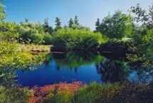
Ucluelet is a community on the west coast of Vancouver Island in British Columbia. Ucluelet means "safe harbour" in the indigenous Nuu-chah-nulth language. It is located at the northern edge of Barkley Sound between two sections of Pacific Rim National Park Reserve: the Broken Group Islands and Long Beach. Places to eat in the region include Greenhouse Market, Roosters Cafe, Yayu Cafe, and The Blue Room A West Coast Bistro.
We currently have 63 accommodations in and around Ucluelet with other regional listings available for Hotels, Motels, Campgrounds, Inns and other properties. You can filter listings by the available types:
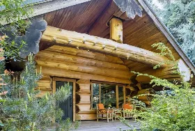
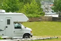
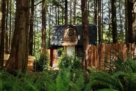
Wondering where to stay? Accommodations in the community are primarily limited to Campgrounds and RV parks, though there are a large number of nearby Bed and Breakfasts. If you are travelling in the area, Ucluelet is located close to Limestone Bay, Chimmin Point, Breaker Beach, Setsup Bluff and Canoe Pass Creek.

Selected and best reviewed properties in Ucluelet
More about the areas accommodations and tourism
Surfing is possible year round on beaches near Ucluelet. Like its neighbour Tofino, Ucluelet is making the transition from a resource-based economy to a tourism-based economy. The Wild Pacific Trail, a popular wilderness trail that begins near the mouth of Ucluelet Inlet at Amphitrite Point, follows the rocky headlands north into the Weyerhaeuser lands, recently rezoned for residential and commercial development.
Other local Ucluelet information.
Ucluelet is 34 km away from Bamfield and 35 km away from Tofino.
Ucluelet is located at longitude -125°32'46.840 and latitude 48°56'29.758.
Other useful links:
Closed or unlisted properties
- A B&B in the Rainforest closed or delisted.
- Suzie's Seaview B&B closed or delisted.